GIS and visualization

Photo: Bård Gudim
Tailored analyses for a better basis for decision-making
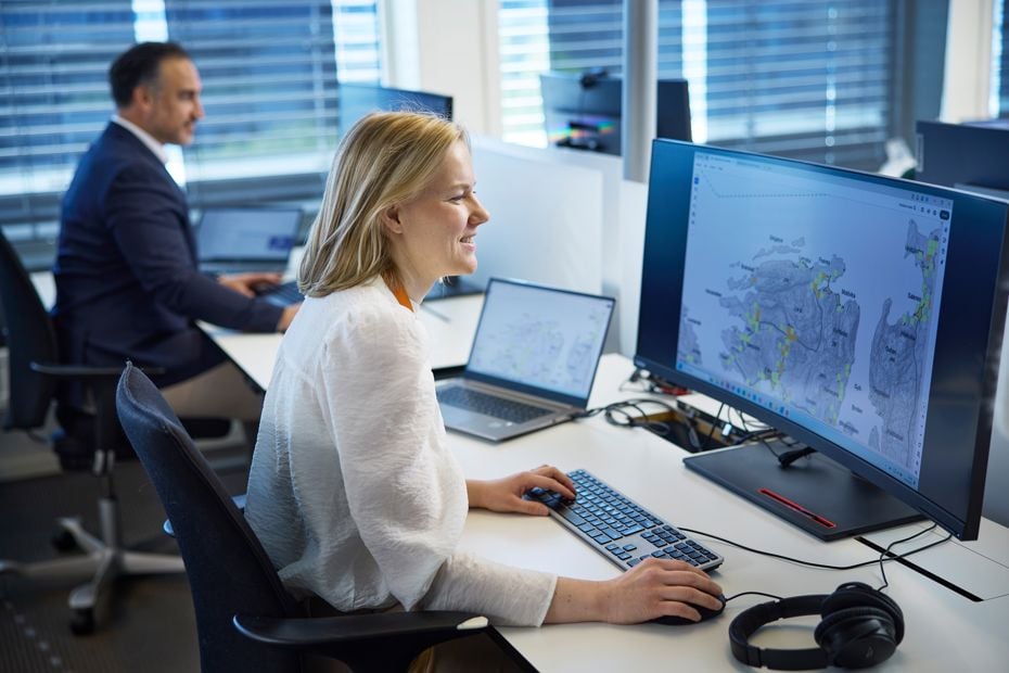
Our GIS staff uses leading software such as ESRI ArcGIS and FME, and delivers tailored analyses to strengthen customer decisions with reliable, quality-assured data.
Good knowledge of content, quality and how geographic data should be processed is central to a good result. With many years of experience, we have a good overview of available data and what is possible to achieve. We have an extensive data library and offer data capture using our own registration solutions and by remote sensing with laser and drone photography.
In line with the rapid development of digital solutions, new opportunities are opening up for the presentation of map data, far beyond the traditional and static 2D maps. This allows us to communicate findings in a more understandable, intuitive and realistic way. We are continuously working to bring the maps to life with storymaps, interactive solutions and 3D visualizations, by combining tools such as ArcGIS Online, ArcGIS Enterprise, ESRI CityEngine, ArcGIS Urban, Autodesk Forma and Unreal Engine. Our solutions have both excited customers, but also changed the way we communicate and interact. Innovative mapping and interaction solutions make complex data accessible and understandable, and contribute to more efficient decision-making processes for our customers.
Typical analyses
- Network analyses of public transport accessibility, cycling, walking and car
- Location analyses of ambulance stations, fire stations, hospitals and more
- Optimal stop placement for public transport
- Area calculations for land acquisition
- Flood analyses
- Route selection analysis
- Sun and shadow analyses
- Daylight analyses
- Visibility analyses
- Space syntax
- Overlay and proximity analyses
- "Least cost path" analyses
- Multicriteria analyses
- Visualization
The list above shows typical analyses we prepare for our customers, but is not exhaustive. Please contact us and explain your needs to hear more about the possibilities with GIS and other digital tools.

